Superstition Mountain, Apache Trail and Tortilla Flats
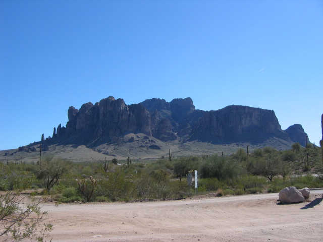
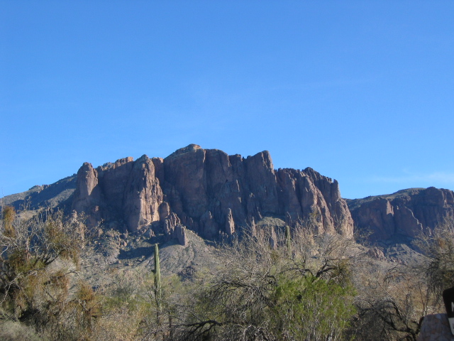
I failed to mention that Goldfield (see entry below) is at the base of Superstition Mountain. It is said that during a severe flood, Indians climbed up the mountain, but became so scared that they turned to stone, thus what I call the stone fingers of the mountain.
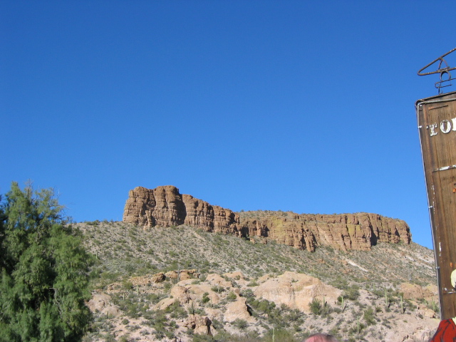
Here are a few views of Superstition Mountain... these views are of the west/north west side..
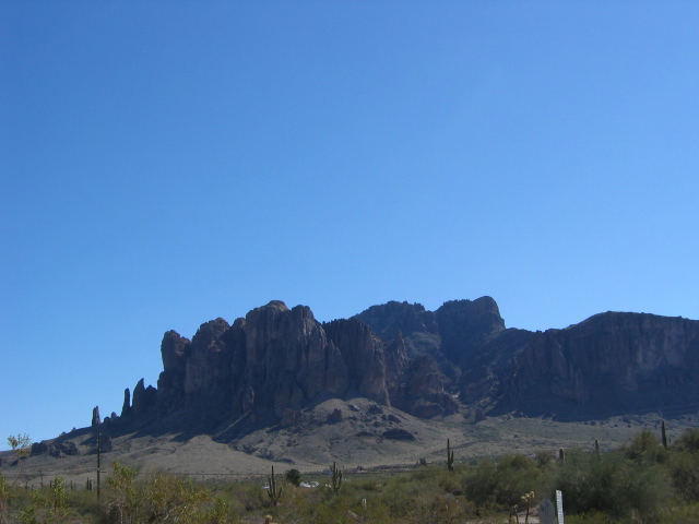
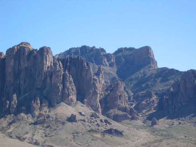
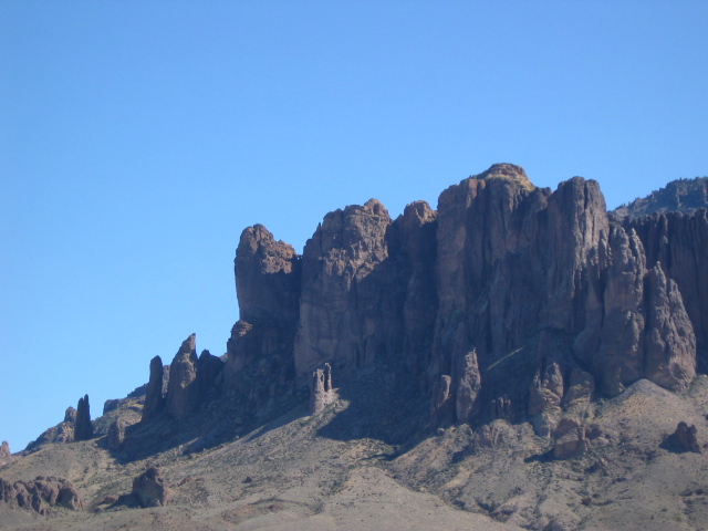
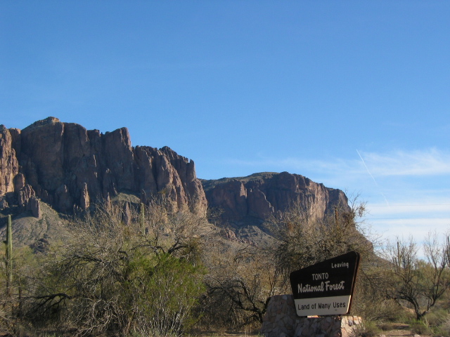
These views are of the north side....
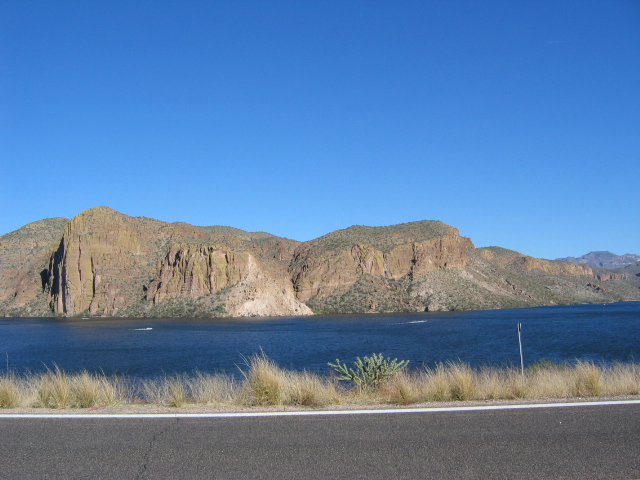
We decided when we left Goldfield to drive part of the Apache Trail. This two lane road can be described as anything but flat and straight. I drove more hairpin curves yesterday in a couple of hours than I remember driving the rest of my life. On top of that, no guard rails. What fun. The really strange thing is that we passed two campgrounds, one at Canyon Lake and the second one was at Tortilla Flats. I don't think that I'd take our MS back this road, but the campground did look nice for those daring enough to do it.
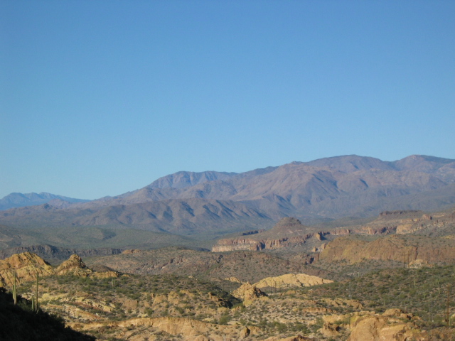
The scenery on this drive was some of the prettiest I've seen so far. Every turn offered a different view, be it rolling hills, or mountains, or a lake or valleys. I'll let the pictures speak for themselves....
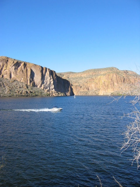
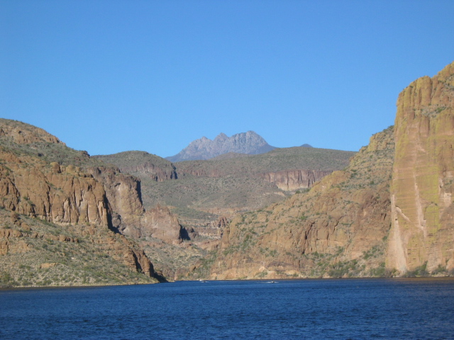
Canyon Lake views.......
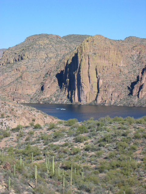
Just some pretty views........

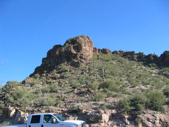
Sure hope that rock don't fall on our truck.....
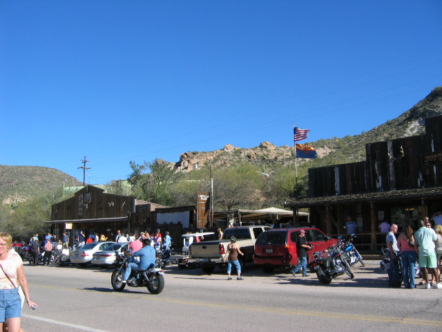
Pictures from Tortilla Flats ......
Lost Dutchman Mine.....

Schoolhouse....now a museum..

Town....
This cutie (the dog) rolled in on a motorcycle with his owner - he had sunglasses and a rag cap or whatever they are call, on - to cute.

Well, that about wraps this entry up. Hope you enjoyed the pictures. Not sure what will be next, check back. Till then.......
posted by Janice and Dean @ 5:20 PM
0 Comments
![]()

0 Comments:
Post a Comment
Subscribe to Post Comments [Atom]
<< Home